I decided to design a topographic map of South Korea since I studied abroad there last semester and I feel homesick being back here. I started by trying to download svg. map of South Korea; however, the files that were available were either too big for Tinkercad or included all of the islands when I just wanted the silhouette. I started by sketching the country on tinkered while referencing a map of Korea. 
I then extruded specific places using Meshmixer and referencing a topographic map.


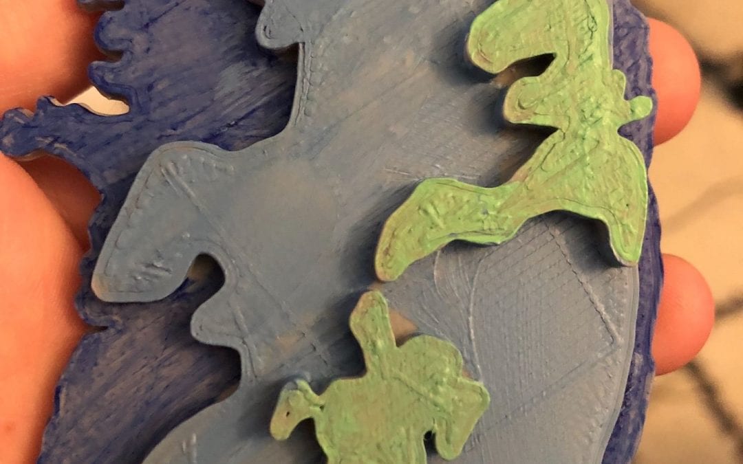
Following Dr. Field’s advice, because the meshmixer edit looked sloppy, I sketched the three layers that were on the topographic map.


After I printed the design, I painted each level in accordance with the topographic map that I was referencing.


Recent Comments